CatronCountyWalk

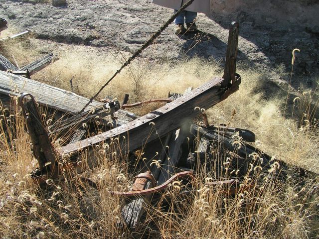
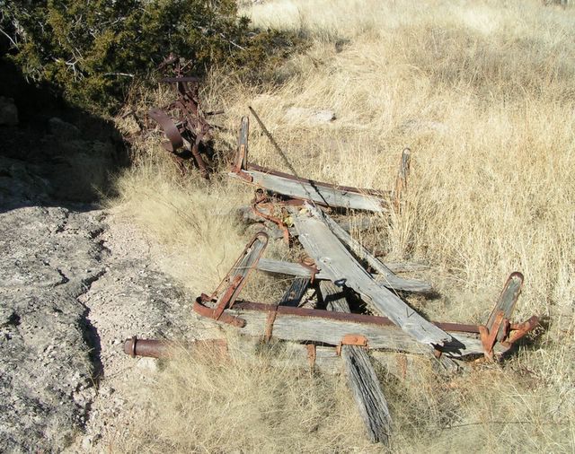
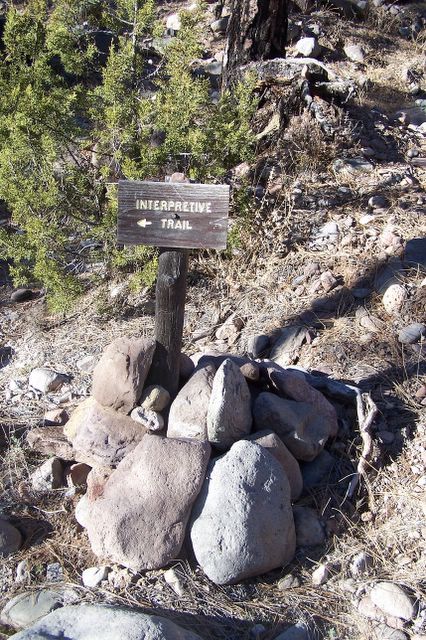
Catron County, New Mexico has about 400 miles of paved road, and we're planning to walk every mile of it ... eventually ...

Saturday, December 16, 2006

Closed for Christmas

See you next year!

Love and Peace to all.

Wednesday, December 13, 2006

This is the kind of thing I was referring to in an earlier post about trash. Whatever this was, allowed to remain undisturbed over time it has evolved from useful to useless to curiosity to artifact. You wouldn't even notice it, driving by on the highway, which to me is part of it's appeal.  Posted by Picasa
Who left this here? And when? I don't know. I don't even know what it is. Posted by Picasa
View from above. Still don't quite know what this is, if it's two separate items, or whether the first drew the second, and the whole thing was pulled by horses. Posted by Picasa
Some part of this machine was able to be ratcheted higher or lower, evidently. Posted by Picasa
Those are modern storage buildings in the background. Posted by Picasa
... Posted by Picasa
I wonder if this is upside down. Posted by Picasa
Obligatory culvert photo. Not a bit Freudian. Not in the least. Posted by Picasa

Monday, December 11, 2006

A must-see

If you haven't already seen this post at Neath'sWalking Turcot blog, go see it now. I mean it.

Saturday, December 09, 2006

"Theories of Everything"

There's an article in the New York Times about a collection of cartoons by Roz Chast called Theories of Everything and there's a paragraph in the article describing one of her cartoons which made me laugh and laugh and laugh.
In the latter sections of the book there are lots of jokes about hitting middle age. “Midlife Crisis: The Clouds Before the Storm” shows a tired looking woman, dressed in a frumpy skirt and blouse, sitting on her sofa, thinking, “I bet if I really wanted to, I could bicycle across Canada.”


Substitute "walk" for "bicycle" and I am that woman. I haven't snorted coffee out my nose in ages, but I did when I read that paragraph. Must buy the book.

Walking Bull

From a book I'm reading, by Sara Rath, called About Cows.
Ted Terry rode his bull, Ohadi, from Ketchum, Idaho, to Times Square, New York. He began the trip in July 1937 and arrived in New York City on August 11, 1940.


Presumably, he didn't ride his bull at a gallop, or a trot, but at a walk. I bet every one he passed wanted to say hello.

Friday, December 08, 2006

Talking Trash

I haven't been able to access the comments feature at Walking Fort Bragg to tell Ron how awesome I think his latest photo series is - definitely go there and check it out! I just hope Ron didn't take those wave pictures from the jetty - apparently the beach isn't safe right now for the kiddos and the old geezers and geezerettes. From what I understand, our Ron falls into at least two of those three categories...

Reading Ron's post about Glass Beach, and a few things here and there at other walking blogs, has got me to thinking about garbage. I read an excellent book a decade or so ago about the settling of the American West - wish I could remember the name or the author - which somewhat dispelled my romantic "Little House on the Prairie" inspired notions about the early settlers by talking about the big trash heaps they left behind their little log cabins. Apparently, they ate a lot of canned goods. And Johnny Appleseed? According to Michael Pollan, Johnny wasn't some handsome young fellow who walked across America eating apples and spitting their seeds over his shoulder, as Walt Disney et al would have you believe - he was a rather creepy old religious nut who maybe married a twelve year old girl and sold apple trees to settlers crossing the Ohio River. The settlers bought them for the cider, which when fermented represented one of their few reliable sources of alcohol.

Anyway, not to get too far off the point here, I was talking about trash. If you live in the city, you put your trash out on the street and a truck comes by and takes it away. If you live out in the country, it's a different story. Here, the county provides a few dumpsters scattered around, and there's a landfill or two, but mostly your garbage is your own problem. Lots of people burn their garbage. Quite a few dig a hole with a back hoe and toss their garbage into it until it's full, cover it with dirt, dig another huge hole, etc. For larger items, many of us have a junk pile somewhere on the property. It's a form of recycling, since when you need a piece of lumber or a piece of PVC pipe or some wire, you go rummage around the junkpile for it. But it also represents something else, which I'll try to explain.

Let's say you have a car which doesn't run anymore. You hang onto it - it might still be good for parts. After a while, the weeds grow up around it, the weather turns it a nice rusty color, the cattle graze around it, the mice and the ground squirrels set up housekeeping in it, and it becomes part of the landscape. It's not hurting anything. You could have it towed or hauled off somewhere a hundred miles away and sold for scrap, but it would cost you more in time and effort and gas than you'd make on the metal. You'd lose money - and why? It's not hurting anything.

This is why you come on these things out here that almost look like sculptures - artifacts of a different era, worn down by weather and time into abstract art pieces. An abandoned wagon, an old truck from the forties, a car from the fifties. Often on our walks we pick up pottery shards from 800 years ago, and a few steps later, pottery shards from fifty years ago. We admire the 800 year old pieces, and discard the 50 year old pieces without a second look. In a hundred years, we'll appreciate them.

Tuesday, December 05, 2006

Pueblo Creek Interpretive Trail

This weekend we went on a treasure hunt to find our first geocache, not too far from home. To get there, we had to find what is now Catron County Road 013, an unpaved county road off of highway 180. It used to be Forest Road 232, is given as Forest Road 232 in the clues, and is marked FR232 on the map I was using, so that was the first part of the challenge. The second part of the challenge was that the road is closed at the Pueblo Creek campground, possibly because of summer rains which caused water to flow over the bridge and may have made it unsafe for cars. The beginning of the Pueblo Creek Interpretive Trail appeared to be on the other side of the closed bridge.

No problem. Using our trusty new Garmin eTrex we marked our location and headed off in what we hoped was the right direction based on our longitude, latitude and elevation, and stumbled shortly on the Interpretive Trail near the far end of the campground. It's a lovely little trail, not too difficult and very well marked - just look for the cone-shaped mounds of rocks. Every once in a while we stopped and determined our latitude and longitude. We were looking for a particular bench described as a landmark, so when we saw a bench, we assumed it was the one we were looking for, and of course it wasn't, and with the sun sinking low in the sky, I thought we'd have to go home and try again another day. The kids were not even remotely interested in giving up, however, so we figured out our position again, found the right landmark, and found the cache.

We sat on a log in the late afternoon sun, looking through the objects left behind by other geocachers, reading all the notes in the logbook and trying to think of something more interesting to say than "We found it!" On the way out we surprised two deer. The car was very quiet as we drove home - everyone comfortably relaxed and tired from hiking through the woods, and feeling thoughtful and contemplative. I was thinking about how sublimely funny it was that I should be scrambling around in the beautiful woods, in nature, using sophisticated technology to find a plastic man-made object holding cryptic little messages and tokens from my fellow man, and deriving so much pleasure from it. Can't wait to do it again.
This is the first of many one lane bridges on Catron County Road 013 which goes through Pueblo Creek Park, on around behind Saddle Mountain and back out to 180 a few miles from Luna. Posted by Picasa
One or two signs like this mark the Pueblo Creek Trail, but mostly the trail is marked by cairns - rocks piled in cone-shaped mounds about a foot and a half high. Posted by Picasa
Creekbed we wandered through while looking for our first geocache. Notice the sedimentary rock. Posted by Picasa

Friday, December 01, 2006

Another culvert.